Drone Inspection Services for Industrial Infrastructures
Featured Service: Drone Inspection and Geospatial Data Services
Did you know Brindley Engineering provides advanced drone inspection services specifically designed for industrial facilities and critical infrastructure?
Why Brindley Engineering
Brindley Engineering is a multi-discipline engineering firm offering full-service capabilities from inspection and data collection to engineering analysis, reporting, and asset integrity management. But did you know we also provide advanced drone inspection services specifically designed for industrial facilities and critical infrastructure?
What We Do
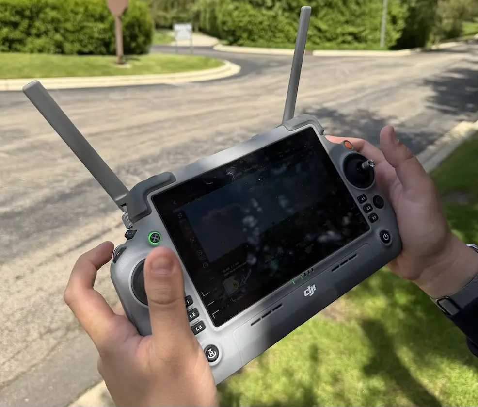
Our FAA Part 107-certified pilots deploy enterprise-grade drone platforms equipped with ultra-high-resolution optical cameras, thermal imaging sensors, and LiDAR systems to capture detailed inspection data across hard-to-reach and high-risk areas.
These platforms allow us to assess a wide range of assets, including structural systems, conveyors, roofs, stacks, flares, piping, and storage tanks. We can identify issues such as heat loss, moisture intrusion, and electrical anomalies using high-resolution and thermal imaging. In addition, LiDAR scanning enables us to rapidly generate precise 3D point clouds for modeling, volumetric analysis, and deformation monitoring.
We provide aerial inspection and geospatial data collection for:
- Petrochemical facilities: Flare tips, stacks, tanks, cooling towers, pipe racks, coker pits, and other elevated or hard-to-access structures
- Bridges: Deck undersides, bearings, expansion joints, and fracture-critical members
- Waterways: Shoreline erosion, bulkheads, docks, and outfall structures
- Topographic and volumetric surveys: Stockpile measurements, grading verification, and site development support
Utilizing high-resolution optical sensors, thermal imaging, and LiDAR (where applicable), we deliver:
- Engineering-grade imagery
- Orthomosaic maps and fully georeferenced datasets
- 3D models and point clouds
- Detailed condition documentation to support maintenance planning and capital forecasting
- Rapid mobilization with minimal impact to ongoing operations
We take it a step further by integrating this data directly into our Asset Management and reliability programs; turning field data into actionable insights.
Why We Do It
Brindley’s drone inspection program reduces costs by limiting or eliminating the need for scaffolding, aerial lifts, and rope access. Most importantly, it significantly enhances safety by reducing personnel exposure to high-risk environments.
Drone deployment reduces exposure to fall hazards, eliminates many traditional access constraints, and accelerates data gathering compared to aerial man lift equipment or rope-access methods with increased improving both safety and efficiency. Drone technology can be used widely for many areas of inspection from drone building inspection to drone bridge inspection, drone pipeline inspection and oil and gas drone inspection services.
If you have assets that would benefit from evaluation by a team licensed engineers and certified drone inspectors, we welcome any opportunity to discuss how we can support your team.
Share this post